PANGU v4.01 is now available complete with a variety of model scenarios ranging from synthetic surfaces, asteroids to the Moon and Mars. The experienced team at STAR-Dundee holds a variety of case studies and imagery generated by PANGU, and can work with you to find the right solution for your mission.
PANGU v4.20 will soon be availible.
What is PANGU?
PANGU is a software package primarily used for modelling and rendering astronomical bodies such as the Moon, Mars and asteroids, to support the design and testing of vision-guided spacecraft and landers. Developed by the University of Dundee with support from ESA, PANGU offers a high degree of realism while operating at near real-time speeds on modern desktop PCs with graphics cards that support OpenGL 4.0 and programmable GPU shaders.
PANGU can combine real data such as Digital Elevation Models (DEMs) representing whole planets, higher-resolution DEMs of landing site regions and synthetic terrain to create multi-resolution models that can simulate the full descent of a planetary lander. Standard DEM projections are supported as are combining whole planet models with DEMs and atmosphere models. The ability to manage large models (i.e. greater than 64 GB) enables full lander descents to be simulated to a high degree of realism, with resolution varying from kilometres at the start of the descent to centimetres around the target landing site. Asteroids can be simulated by either importing shape models or by generating fully synthetic asteroid models.
The initial DEM can be obtained from instruments such as NASA’s Lunar Reconnaissance Orbiter Laser Altimeter or ESA’s High Resolution Stereo Camera. Alternatively, a DEM with user-defined roughness can be generated by PANGU using fractal techniques.
Base DEMs can be interpolated with fractal detail to achieve a model resolution that is much higher than that of the original DEM. Realistic craters can be added using statistical models of properties such as age and diameter distribution; ageing factors ensure that the resulting craters match those observed in images of real terrain. Boulders and positive relief features can be added to the surface controlled by various statistical distributions. For models of Mars, barchan dune fields can be modelled and craters can have flat bottoms as if filled by dust. An albedo/colour map can be applied for extra realism.
PANGU has the ability to generate camera, LIDAR and RADAR images from any position and orientation to support off-line and closed-loop simulations of planetary landing, surface roving and in-orbit rendezvous operations. The physics-based camera model includes features such as shot noise, thermal dark current, read-out noise, radiation events, photo-response non-uniformity and radial optical distortion. Pixel values can be represented at floating point precision or digitised to match ADCs with up to 16-bits. Integration with NAIF/SPICE allows images to be generated using publicly available historic and predicted data for planetary bodies and spacecraft, and the time of interest.
The practical applications of PANGU are as vast as the technology itself. From dynamic elements such as articulated rover vehicles to Martian scenes with movable dust devils, PANGU offers a realistic experience of bodies in our solar system.
Find out more about PANGU and add it to a quote request here: https://www.star-dundee.com/products/pangu-planet-and-asteroid-natural-scene-generation-utility
Watch the following simulations to see PANGU in action:
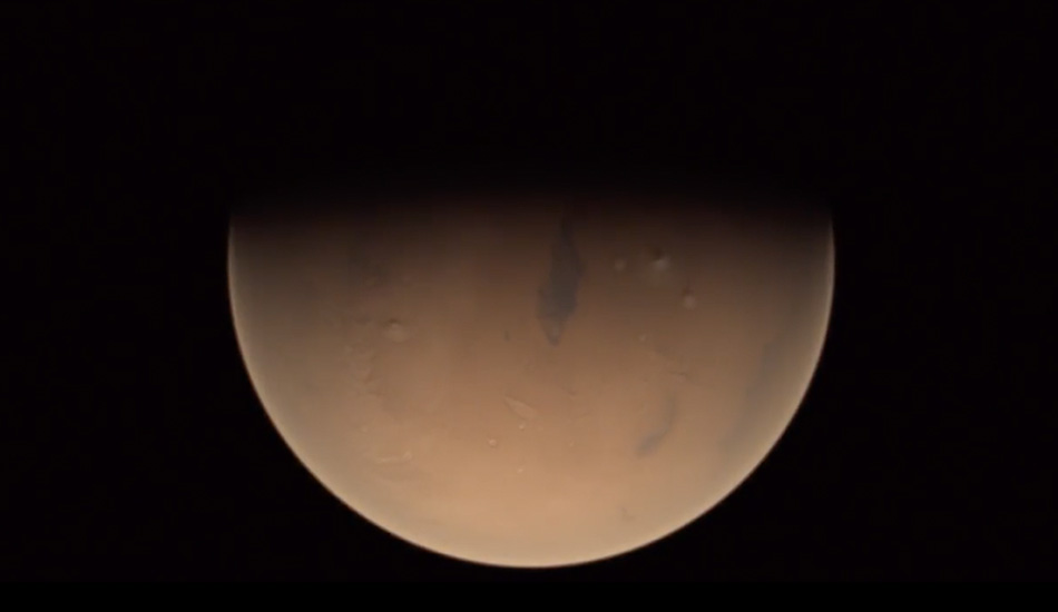
PANGU v4 simulation of part of a MEX/VMC orbit on 2010-May-27
PANGU v4 real-time simulation of the MSL Mars EDL on 2012-Aug-06
PANGU v4 simulation of a hypothetical Phobos lander mission on 2010-May-29
PANGU v4 simulation of a Lunar Lander descent onto Malapert mountain 2017-May-17
PANGU v4 simulation of Hayabusa/AMICA observing a rotation of Itokawa on 2005-Oct-01
PANGU – simulating planetary close encounters on ESA Youtube channel